Importing CSV, JSON, and GIS data as a Dataset
By importing data as a dataset, it is possible to use the values of the imported data for setting properties. (For details, see Link a Dataset to Property Field)
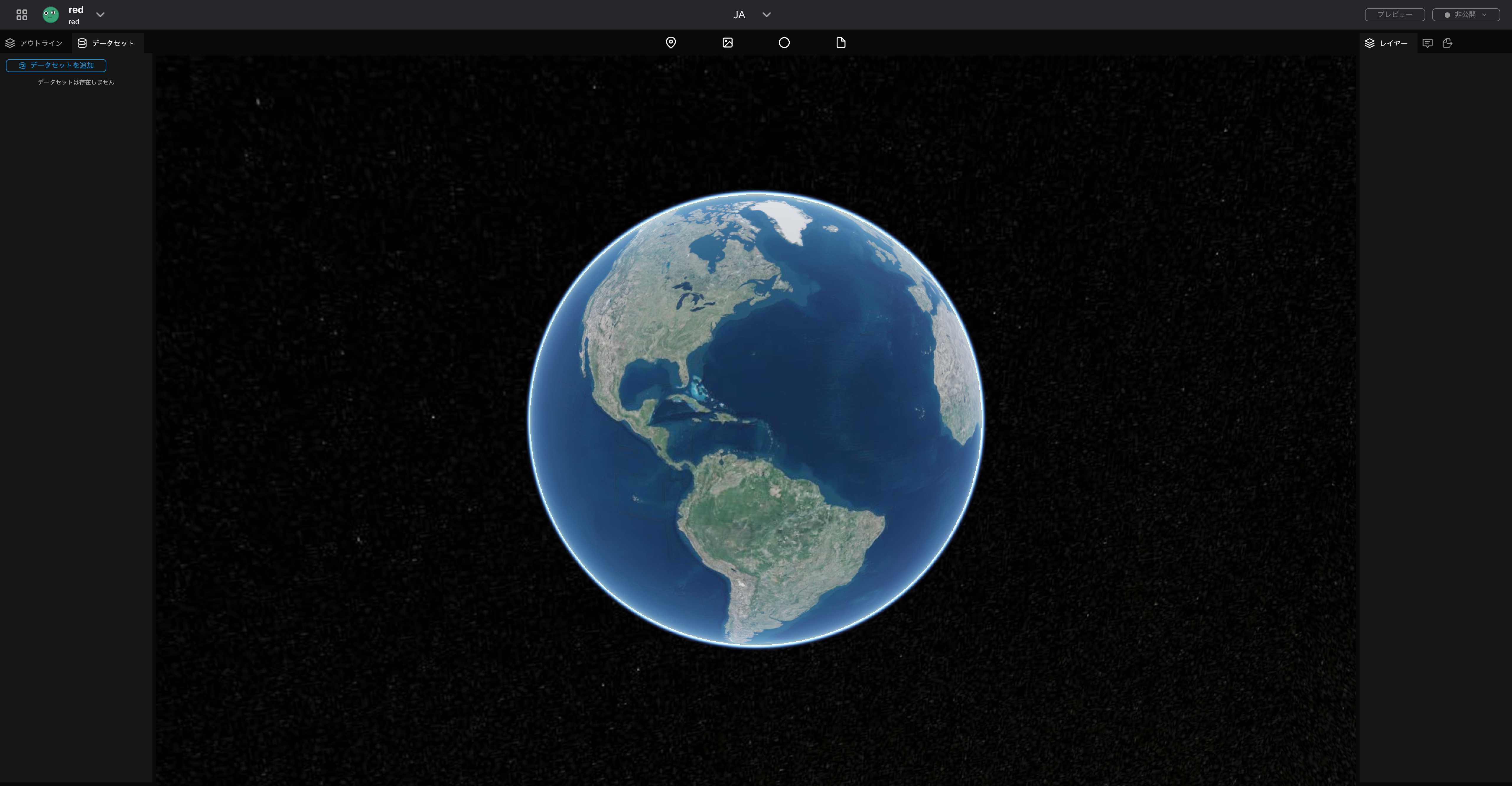
Open the project.
Open the Datasets tab and click the Add Dataset button.
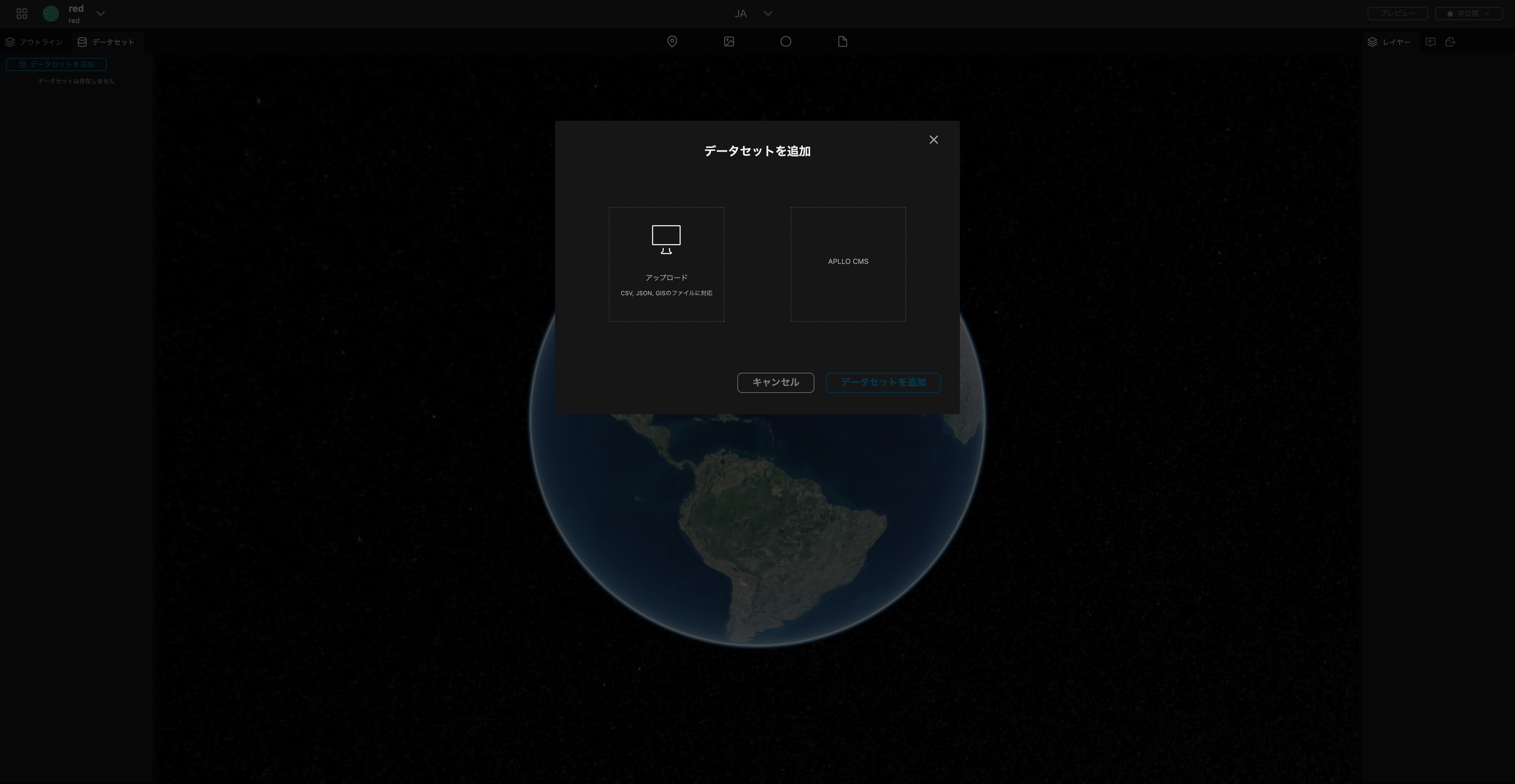
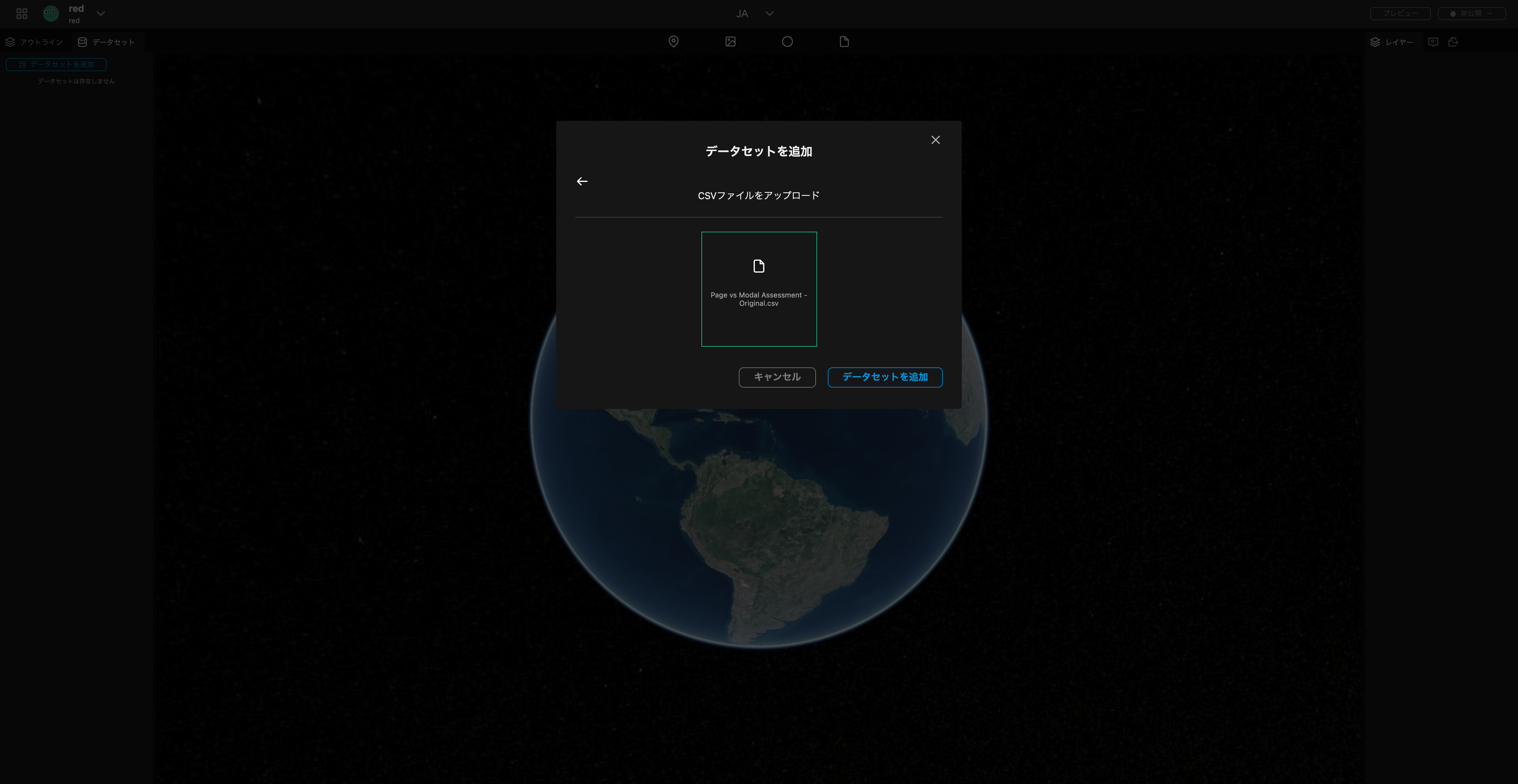
From the modal that appears, click Upload.
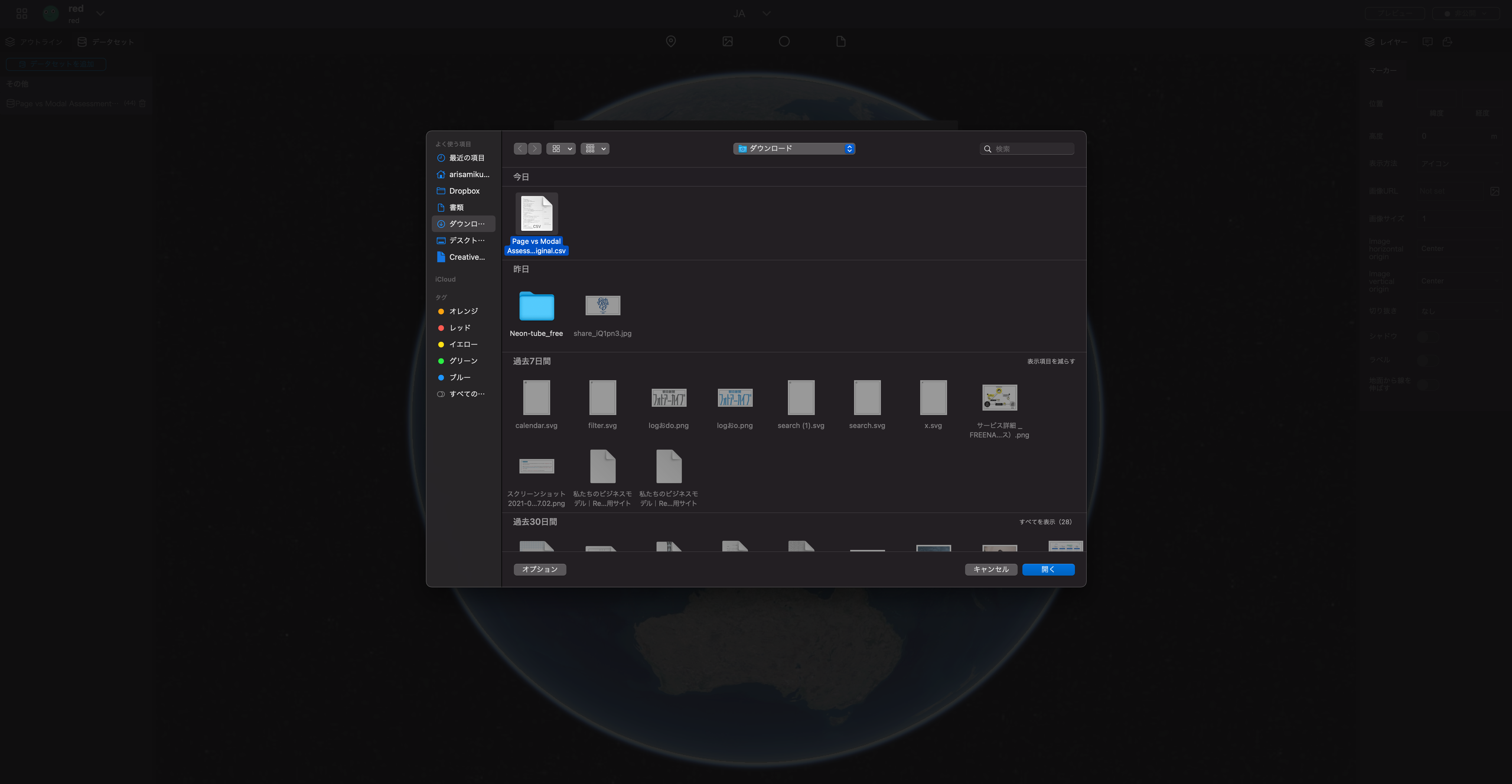
Select the desired CSV, JSON, or GIS file stored on your device and click the Open button.
Click Add Dataset.
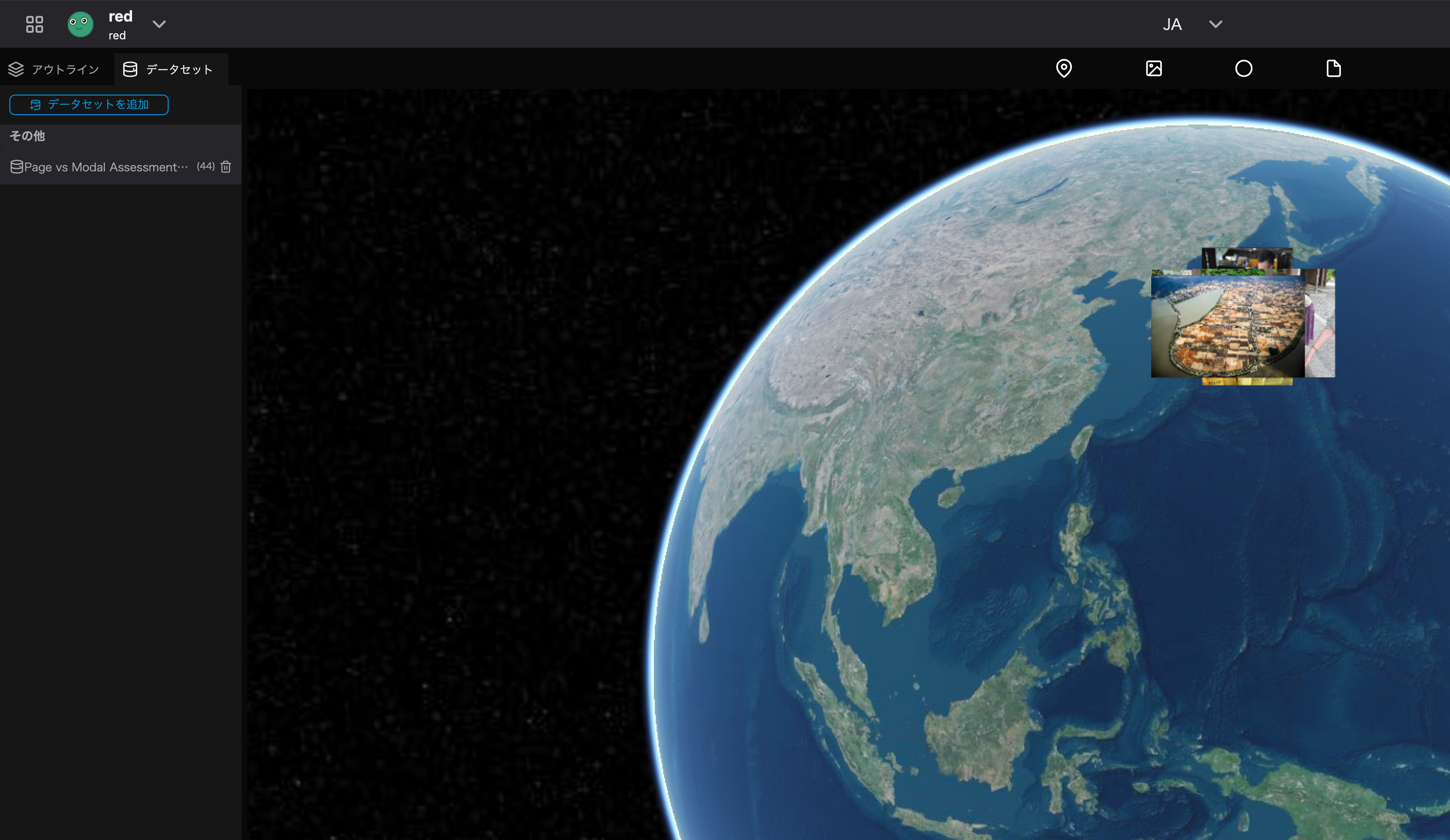
The files you have uploaded to the dataset will be displayed in the left panel and you can drag from there and drop the file onto the earth to add them as layers.